McMinn County agriculture data for 1997 and 2002, from 2002 USDA Census of Agriculture.
|
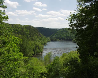
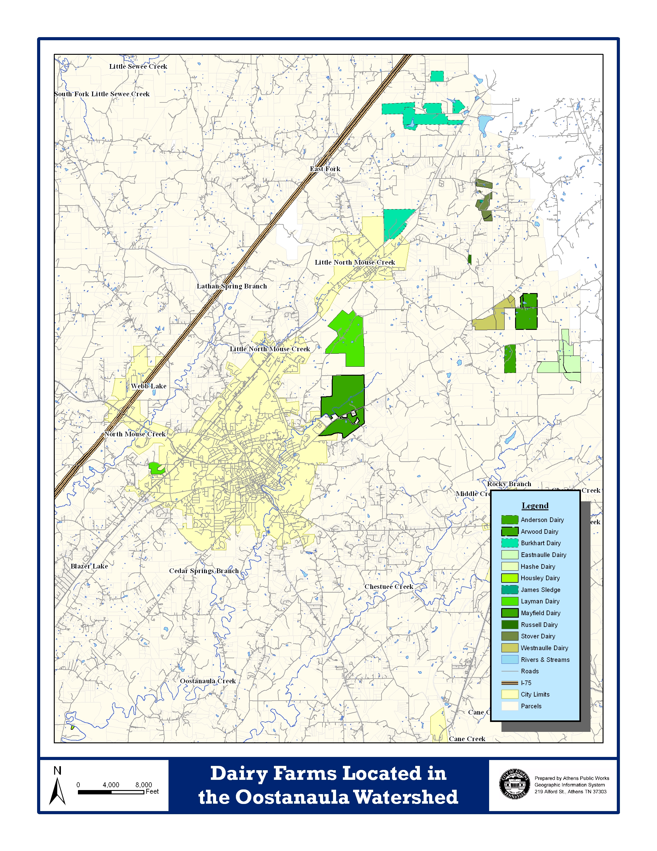
| Physical Description The geography, unique features, and habitats of the Oostanaula Watershed Linking land use (change) with stream and habitat condition is a critical step in aquatic resource management. This section identifies and describes the physical condition of the creek and the watershed to display a better picture of the planning area. Oostanaula Creek flows south to southwest from southern sections of Monroe through the center of McMinn counties, entering the Hiwasee River at mile 19.8. The municipality of Athens is positioned near the center of the watershed and in the adjacent North Mouse Creek Watershed. Both watersheds lie within the Ridge-and-Valley Ecoregion (67) as defined by the EPA. This is a relatively low-lying region between the Blue Ridge Mountains to the east and the Cumberland Plateau on the west. The area is typical of the Ridge-and-Valley region of the eastern U.S., with rolling hills and many meandering tributaries and agriculture operations located in the low lying areas. As a result of extreme folding and faulting events, the region’s roughly parallel ridges and valleys have a variety of widths, heights, and geologic materials, including limestone, dolomite, shale, siltstone, sandstone, chert, mudstone, and marble. As of 2006, there are 14,100 people in Athens and nearly 50,000 in McMinn County. Outside of the urban areas where manufacturing is the key industry, agricultural sites are common - especially dairy and beef cattle operations. In fact, McMinn County is the 2nd ranked dairy producer in Tennessee, with approximately 5,100 head.The dominant land use in the Oostanaula watershed is forest, comprising 48% of the total land area, which occurs primarily in the hill and ridge areas. In the valleys and flat regions of the OCW, pasture is dominant, occupying 31% of the total area. Additional land uses of the valleys are croplands, representing 5% of the watershed. Residential areas represent 13% of the area, mostly in Athens and surrounding areas. Commercial and Industrial land uses total 2%, which is also congregated around Athens. Presented to the right are maps showing the land uses of the watershed (very detailed analysis conducted by TVA), and a map of the major Dairy Farms in the area (courtesy of Athens Public Works). click on the images to enlarge
|